-
Login
-
Sign Up

Log in to your iBeauty account
Access Your Account for a Universe of Possibilities
at Your Fingertips.

Sign up and start learning
Take the First Step Towards Learning. Sign Up Today &
Expand Your Horizons!
Log In
Sign Up
Don’t have an account yet? Sign Up
or continue with
By Sign up, you agree to our Terms and Use and Privacy Policy
Already have an account? Sign In
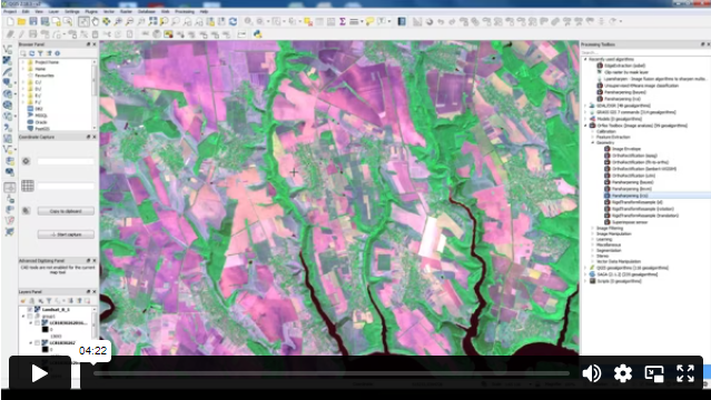
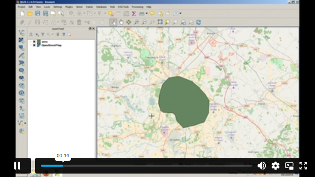
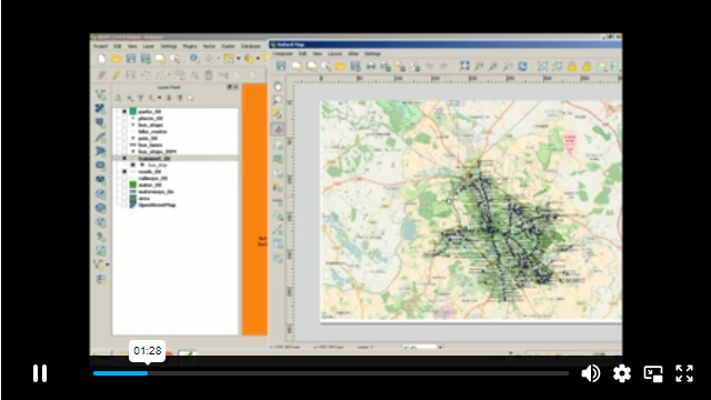
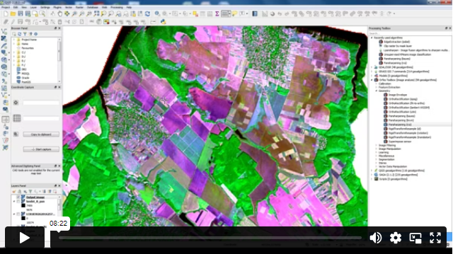
Introduction to QGIS for Remote Sensing
1
Course overview Learn about Introduction to QGIS for Remote Sensing quickly and enhance your skills. You will understand Introduction to GIS …


Original price was: $329.$23Current price is: $23.
Save Upto 95% - Ends Soon!

-
01 Year
 Access
-
Intermediate
 Level
Level
-
16 Units
 Units
Units
-
0 Quizzes
 Quiz
Quiz
-
1 hour, 47 minutes
 Duration


Related Courses

Course Highlights The Ecotourism course is specially designed to provide you with all the professional skills and industry knowledge you …

Course Highlights The IT Support Technician course is specially designed to provide you with all the professional skills and industry …

Course Highlights The Bid Writing course is specially designed to provide you with all the professional skills and industry knowledge …

Course overview Learn about Python 3 Programming Course Intermediate quickly and enhance your skills. You will understand Python 3 Programming Course …