
-
Login
-
Sign Up

Log in to your iBeauty account
Access Your Account for a Universe of Possibilities
at Your Fingertips.

Sign up and start learning
Take the First Step Towards Learning. Sign Up Today &
Expand Your Horizons!
Log In
Sign Up
Don’t have an account yet? Sign Up
or continue with
By Sign up, you agree to our Terms and Use and Privacy Policy
Already have an account? Sign In
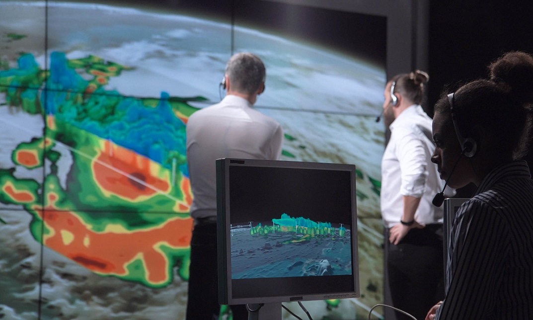
The Basics of ArcGIS for Hydrology
Course overview Learn about Microsoft Teams for Managers quickly and enhance your skills. You will understand Microsoft Teams for Managers and its …
Get This Course and 1500+ others for only £49 Per Year Find Out More



Course Curriculum
| Section 01: Introduction to ArcGIS software | |||
| Introduction to ArcGIS software | 00:09:00 | ||
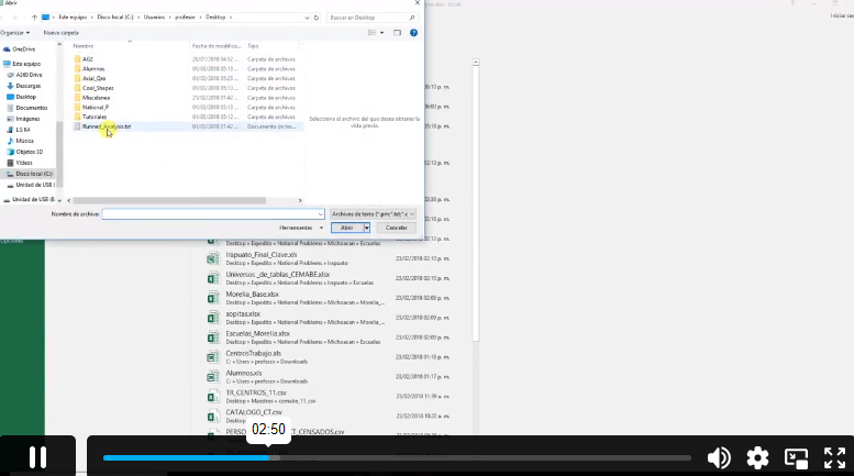
| Selection by Location, attributes, clip features and tables to Excel | 00:11:00 | ||
| Performing actions on the data: change the projections, dissolve, clip | 00:13:00 | ||
| From .TXT and .DXF to shapefile | 00:10:00 | ||
| Calculations with attribute table and KML files in ArcMap | 00:11:00 | ||
| Export from ArcMap to PDF | 00:11:00 | ||
| ArcScene 3D | 00:08:00 | ||
| GIS Example Test | 00:15:00 | ||
| AutoCAD fixing polygon coordinates | 00:14:00 | ||
| Section 02: ArcGIS for Hydrology | |||
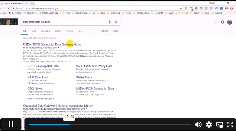
| Download hydrological data | 00:06:00 | ||
| Calculate flow direction and flow accumulation | 00:09:00 | ||
| Watershed delineation | 00:10:00 | ||
| Clip layers to watershed boundary | 00:10:00 | ||
| Stream segments and catchments areas | 00:09:00 | ||
| Stream order convert to vector | 00:10:00 | ||
| Spatial join to catchments | 00:11:00 | ||
| Join stream id to stream order | 00:08:00 | ||
| Map data and initial layout | 00:11:00 | ||
| Add and format map elements | 00:14:00 | ||
Frequently Asked Questions
Upon subscribing you will get unlimited access to more than 2000 courses
Yes, once you purchase the course, you have lifetime access to all content and updates.
All courses come with dedicated support for any questions or technical issues.
All courses come with dedicated support for any questions or technical issues.
All courses come with dedicated support for any questions or technical issues.
All courses come with dedicated support for any questions or technical issues.
Course Reviews
No Reviews found for this course.
Related Courses
Create Videos, Motion Graphics and Animation Using Canva

Introduction to QGIS for Remote Sensing

IT Security Basics

IT Support Technician

Foundations of Artificial Intelligence

Python 3 Programming Course Intermediate

Data Analysis and Forecasting in Excel

PCB Design for everyone with EasyEDA a free and online tool

Excel 2016 Formulas and Functions

Internet of Things